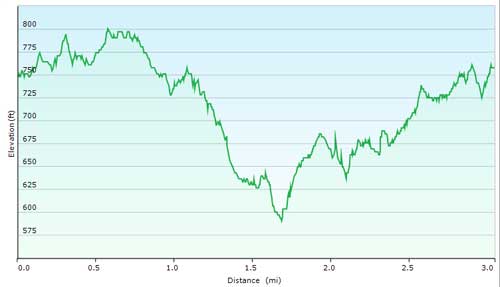
Sonny's Downhill Loop (3 Miles)
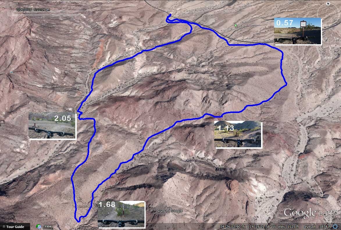
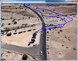
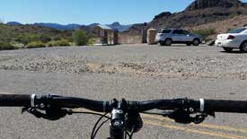
Mileage starts from the street at the Trailhead Parking Lot (click here for Google Map).
The Loop is run clockwise, which flows best. Mileage is approximate; my smart phone tends to run a bit short.
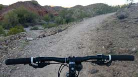
| 0.00 | Go through the gate and make a left. The trail parallels McCulloch Blvd S. until you get to the Trail Map Kiosk. |
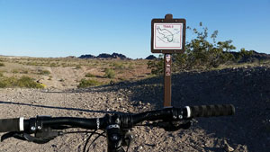
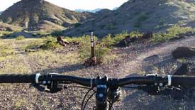
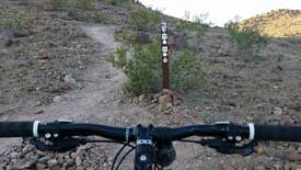
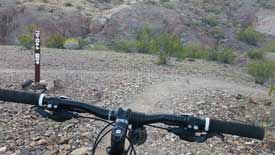
| 0.57 | Trail Map Kiosk, continue straight. |
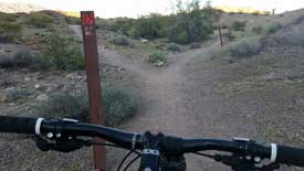
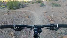
| 0.61 | Bear right onto Sonny's Downhill Trail. |
| 0.84 | Right. |
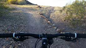
| 0.99 | Continue straight (trails leading off to your right lead to a pretty good downhill, check it out sometime). |
| 1.13 | Keep right. |
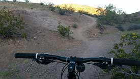
| 1.28 | Left at the fork. |
| 1.32 | Your choice, take the high trail or the low trail, both are fast and fun, and reconnect ahead. |
| 1.68 | You've reached the bottom of Heart Attack Hill, make a right to head back toward the Trailhead. |
| 2.00 | Bear left. |
| 2.05 | Right at bottom of hill. |
| 2.08 | Left to main trail. |
| 2.10 | Right onto trail running along ridge. |
| 2.29 | Bear right, up slight hill climb. |
| 2.42 | Bear right at "Y" |
| 2.45 | Continue straight on main trail. |
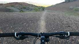
| 2.51 | Continue on well-groomed trail, slight hill climb (small cliff to your left). |
| 2.56 | Continue straight toward McCulloch Blvd S. |
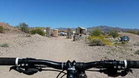
| 2.76 | Left toward Trailhead Parking Lot. |
| 2.84 | Left over last crest to Trailhead Parking Lot. |
| 3.00 | End of the Trail, hope you enjoyed your ride! |
Note: this is a 26mb MP4 file, therefore high speed Internet is highly recomended.
Here is a PDF version of the Loop Map and Directions. Print a copy, or better yet save a copy to your Smart Phone and take it on the trail with you.
If you're looking for the GPS Tracks, here you go...
Note: to save the track file(s), right-click on the link, then select "Save target as..." to save it to your local drive.
GPX for Garmin devices - Sonnys.gpx
KML for Google Earth - Sonnys.kml

What's next you ask?
Check out...
Beer Bottle Loop
Watershed Loop
Pilot Rock Loop
Friendly Fair Loop