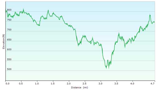
Beer Bottle Loop (4.7 Miles)
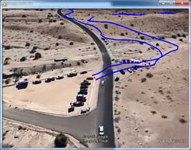
Mileage starts from the street at the Trailhead Parking Lot (click here for Google Map).
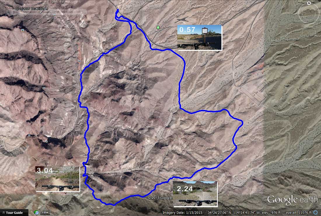
The Loop is run clockwise, which flows best. Mileage is approximate; my smart phone tends to run a bit short.
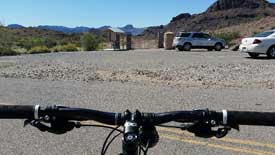
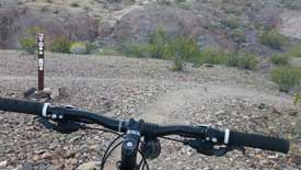
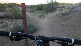
| 0.00 | Go through the gate and make a left. The trail parallels McCulloch Blvd S. until you get to the Trail Map Kiosk. |
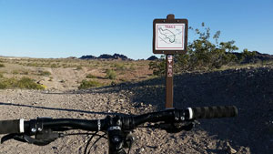
| 0.57 | Trail Map Kiosk, continue straight. |
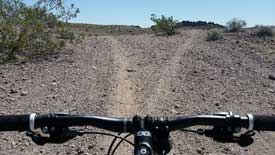
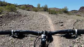
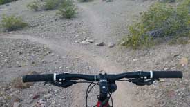
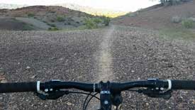
| 0.61 | Continue straight on single track that runs on top of the old mining road, for about a mile. |
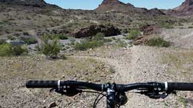
| 1.50 | Right onto Beer Bottle Trail. |
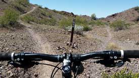
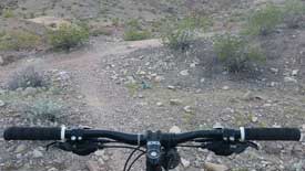
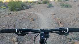
| 2.24 | You can go straight, watch the rain rutt, and catch some air on a nice jump at the bottom of the hill. Or take the dog-leg left, and curve around to the bottom. Either way, cross the wash, climb the small hill on the other side, and go right on the single track atop the old mining road. |
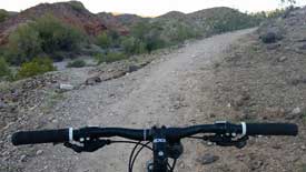
| 2.38 | Keep to the left, climbing the old mining road. |
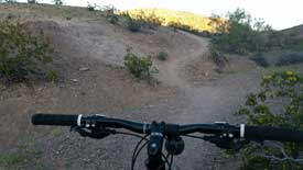
| 2.67 | At the "Y" you can go straight, or bear left. I chose to bear left... you get a fun little downhill for the short climb, well worth the reward. |
| 2.73 | "Y" at the top of the hill, go right. |
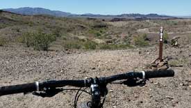
| 2.82 | Bear right off of old mining road, and follow the trail around the edge of the hill to your right. |
| 3.04 | Kamakazi Downhill. To the left has a small drop-off, for the thrill seekers. |
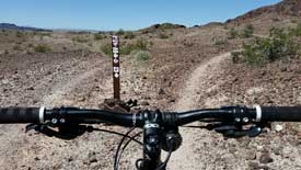
| 3.27 | Approaching the base of Heart Attack Hill. |
| 3.33 | Left to continue climbing Heart Attack Hill, heading toward the Trailhead. |
| 3.65 | Bear left. |
| 3.70 | Right at bottom of hill. |
| 3.73 | Left to main trail. |
| 3.75 | Right onto trail running along ridge. |
| 3.95 | Bear right, up slight hill climb. |
| 4.08 | Bear right at "Y" |
| 4.11 | Continue straight on main trail. |
| 4.18 | Continue on well-groomed trail, slight hill climb (small cliff to your left). |
| 4.21 | Continue straight toward McCulloch Blvd S. |
| 4.42 | Left toward Trailhead Parking Lot. |
| 4.50 | Left over last crest to Trailhead Parking Lot. |
| 4.67 | End of the Trail, hope you enjoyed your ride! |
Note: this is a 44mb MP4 file, therefore high speed Internet is highly recomended.
Here is a PDF version of the Loop Map and Directions. Print a copy, or better yet save a copy to your Smart Phone and take it on the trail with you.
If you're looking for the GPS Tracks, here you go...
Note: to save the track file(s), right-click on the link, then select "Save target as..." to save it to your local drive.
GPX for Garmin devices - BeerBottle.gpx
KML for Google Earth - BeerBottle.kml

What's next you ask?
Check out...
Watershed Loop
Pilot Rock Loop
Friendly Fair Loop
Sonny's Downhill Loop