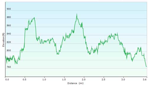
Friendly Fair Loop (3.6 Miles)
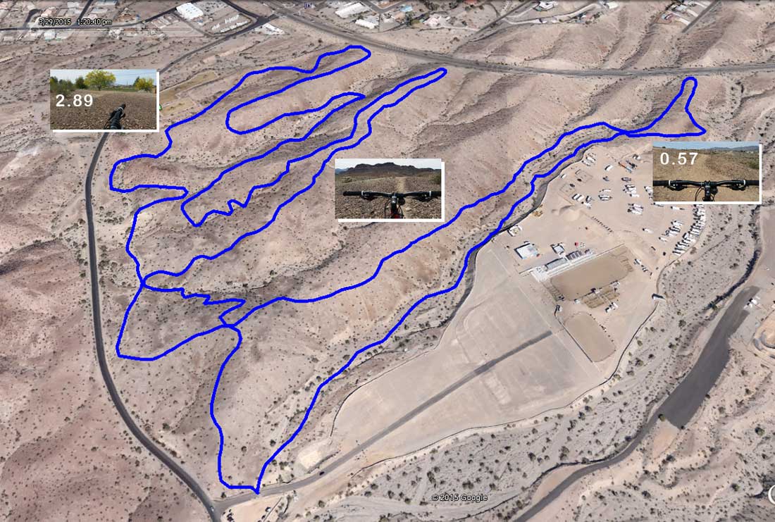
Mileage starts from the street at the entrance to the Rodeo Grounds, next to the overflow parking, across from the Trailhead Parking Lot (click here for Google Map).
The Loop is run counter-clockwise, which flows best. Mileage is approximate; my smart phone tends to run a bit short.
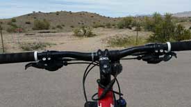
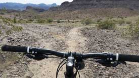
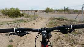
| 0.00 | Go through the fence opening and turn right, follow Friendly Fair trail along the side of the Rodeo Grounds. |
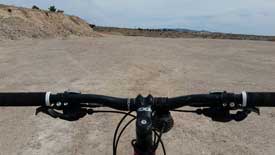
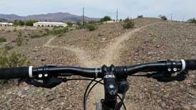
| 0.44 | At the "Y" continue straight for a slightly longer loop. Shortly after this turn right and make your way up the hill to the Rodeo Grounds. At the top, continue straight across the flat lot. |
| 0.57 | As you reach the end of the flat lot, turn to the left, a slight uphill grade leads you back to where the trail continues (toward Hwy 95). |
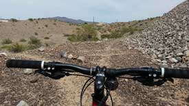
| 1.18 | The trail circles to your right. |
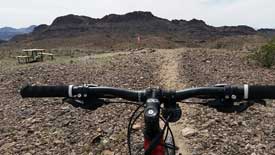
| 1.92 | You've reached the picnic table, as you begin to descend off of this hill, enjoy the slaloms! |
| 2.58 | Bear right. |
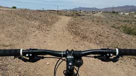
| 2.89 | You'll be riding along the side of the Dog Park. |
| 3.56 | End of the Trail, hope you enjoyed your ride! |
Note: this is a 31mb MP4 file, therefore high speed Internet is highly recomended.
Here is a PDF version of the Loop Map and Directions. Print a copy, or better yet save a copy to your Smart Phone and take it on the trail with you.
If you're looking for the GPS Tracks, here you go...
Note: to save the track file(s), right-click on the link, then select "Save target as..." to save it to your local drive.
GPX for Garmin devices - FriendlyFair.gpx
KML for Google Earth - FriendlyFair.kml
What's next you ask?
Check out...
Sonny's Downhill Loop
Beer Bottle Loop
Watershed Loop
Pilot Rock Loop